


With summer’s arrival, the return of long outings: hiking, trail running, and mountain biking are on the agenda!
Since our previous overview of apps, done in 2020 with Alpine Mag, the world of outdoor apps has evolved a lot. Some have disappeared or changed hands, starting with FATMAP, which Strava announced would close after its acquisition. Others have established themselves, improved, or specialized.
The right reflex remains the same: prepare your outing before arriving at the parking lot, download maps before departure, cross-check sources, preserve your battery, and never confuse a useful app with comprehensive insurance!
Here is our selection of apps.
1. Whympr
Born in Chamonix, Whympr is one of the most complete mountain apps: mapping, weather, GPS tracks, 3D visualization, outing sharing. The app emphasizes an all-in-one logic: route planning, track recording, and viewing outings published by the community. Our advice: use it before your outing to cross-reference topo, map, weather, and conditions. The fly over mode is simply magical, very useful for understanding a route, as you fly over the planned itinerary in 3D.
Launched in spring 2026, the reporting feature allows each user to view or share information about conditions encountered on the ground: avalanche or rockfall, but also herds with guard dogs, fallen trees on the path… Crucial info visible for 90 days on the app as long as it is confirmed by the community.
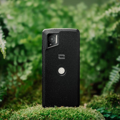
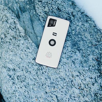
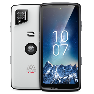
A real step forward, now natively installed on the new Crosscall Chamonix-Mont-Blanc series smartphones, with free access to the Premium Pack for 3 months.

2. Chamonix, the official app
Essential if you frequent the Chamonix valley. The official app gathers information from the Tourist Office, the Mont-Blanc Company, and La Chamoniarde: weather, webcams, lifts, buses, trains, mountain conditions, refuges, hiking ideas, city map, events, and pass top-ups.
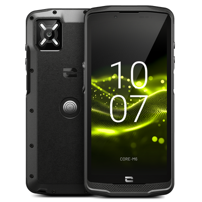
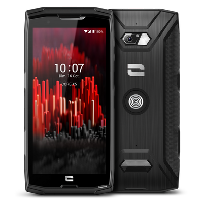
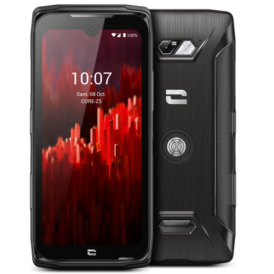
Its purpose is not to replace a real mapping app, but to provide local information: whether a dumpster is open or not, a webcam showing the state of a slope, a bus schedule to avoid ending up hitchhiking in the rain. In Chamonix, it’s often these kinds of details that make the day. The app comes pre-installed on Crosscall Stellar M6 and Stellar X5S Chamonix smartphones.
3. Iphigénie
The reliable choice for those who want serious mapping in France. Iphigénie provides access to IGN maps, OpenTopoMap, satellite views, slope layers, and many topographic backgrounds, with offline consultation.
The interface requires a little time to get used to, but that is also its strength: it’s not a gimmick app. Simple tip: prepare your offline zones the night before, on Wi-Fi, then check in airplane mode that the maps really load. On the day of the outing, it’s too late to discover you only downloaded the opposite slope (sounds familiar, right?). Iphigénie now comes pre-installed on new Crosscall Chamonix-Mont-Blanc series smartphones, with free access to the Premium Pack for 3 months.

4. Stellarium Mobile
It is one of the simplest and most effective apps to understand what you see when night falls. Stellarium Mobile turns your smartphone into a small pocket planetarium: point your phone at the sky, and the app displays stars, constellations, planets, and even some satellites visible above you.
Its value in the mountains is obvious. At bivouac, far from light pollution, you can finally distinguish the Milky Way, spot Jupiter or Saturn, recognize Cassiopeia or Orion. The app also allows you to anticipate what will be visible later in the night. Stellarium has the advantage of being readable, educational, and quite simple. For bivouac use, it is probably one of the best: no need to be an astronomer to easily learn the stars.
5. Komoot
Generalist, Komoot is a very pleasant navigation app for planning a hike, trail run, bike route, or crossing on marked terrain. The app offers voice navigation, offline maps, and synchronization with your phone or watch.
It excels mainly on rolling or well-structured pedestrian routes, less so in true unmarked alpine terrain. Its good use in the mountains: neatly plot the approach, return, and connections, then keep a more alpine map for sections where the route leaves the trails.

6. OpenRunner
Developed in Annecy, OpenRunner is one of the well-designed apps for preparing a mountain outing, whether hiking, trail running, mountain biking, gravel biking, or ski touring. Its main strength lies in the quality of its route planner: you can draw a route, import a GPX track, view the elevation profile, estimate distance and elevation gain, then directly find the route on the mobile app.
For more mountain use, one of the real advantages remains the offline mode, which allows you to download maps and routes before setting off. OpenRunner also lets you search for already shared routes, filter by activity, distance, or elevation gain, record your outing, and track your progress on the ground. A simple but solid tool to prepare and share your outings.
7. Cartes IGN
Cartes IGN is the official app of the National Institute of Geographic and Forest Information. For hiking in France, it has a simple argument: it provides access to IGN maps, the historical reference for reading terrain, but also to several useful backgrounds depending on the use. Map, satellite, cadastre, slopes, old maps, forest data… and no-fly drone zones (very useful for Alpine Mag!)
The app allows you to prepare a route, track your GPS position, record a track, and consult certain maps offline depending on available features. Its value is obvious for those who want to stay as close as possible to official French cartography in the mountains and in areas where details of trails, contour lines, buildings, forest roads, and land boundaries really matter.
8. Visorando
Visorando is one of the most used apps for hiking in France. It offers thousands of routes, detailed descriptions, GPS tracks, the ability to prepare or record your own routes, and the use of the smartphone as a GPS, even without mobile network. The Premium subscription gives access to topographic maps, including IGN, offline, as well as a 3D relief visualization.
Its interest lies less in mountaineering or ski touring than in classic hiking, day loops, family walks, or discovery routes. The good habit: read recent comments, check the itinerary’s update date, then download the map before leaving. A well-followed Visorando sheet can be excellent; an old track much less so… unless you like solitude, which is (also) a good plan.

9. Sun Surveyor
Where will the sun rise tomorrow morning? At what time will the shadow fall behind the ridge? Will this pretty grassy terrace be in the sun this evening? To answer these questions, Sun Surveyor is a super handy app.
Originally designed for photographers and videographers, it allows you to visualize the sun’s path, sunrise and sunset times, as well as the trajectory of the moon and the Milky Way. In the mountains, its use is very practical: choosing the tent’s orientation, avoiding waking up overheated at 6 a.m., or conversely seeking the first ray of sunshine at high altitude during a cold bivouac.
The app is available in a full version and a Lite version. For occasional outdoor use, the free version is already enough to understand the logic. For those who want to precisely prepare a bivouac, or passionate photographers, the full version is worth it.

10. Meteoblue
Meteoblue is one of the most useful weather apps for enthusiasts who like to compare models. Meteograms, maps, radar, satellite, local forecasts, multimodel: the app lets you go beyond the simple “sun/cloud” icon. We also like the radar to see if rain will flood the cliff in the next thirty minutes.
The right reflex: check if the models converge. When the curves all tell the same forecast, you tend to trust them. When they diverge, especially on wind, precipitation, or cloudiness, keep a margin, shorten your goal, or plan an easier outing to interrupt.
11. Windy
Windy is excellent for visualizing wind, precipitation, radars, satellites, freezing level, snow, storms, or cloud layers. The app allows comparing several weather models, including ECMWF, GFS, ICON, AROME-HD, or NEMS depending on the area. In the mountains, it’s especially useful to understand the movement of a disturbance, not just read a single forecast.
Tip: don’t just look at “rain”; also check gusts, freezing level altitude, cloud cover, and timing. A weather window is often a matter of hours. At altitude, strong wind despite sunshine means “windchill” (increased cooling), worsening weather expected, and unmanageable warnings!

12. PeakFinder
PeakFinder is the pocket orientation table. The app identifies visible peaks through a 360° panorama, works offline, and claims over a million peaks in its database.
It’s simple, clean, effective, often impressive. Its best use: preparing or understanding a panorama, spotting a ridge line, naming a peak seen in the distance. In short, an “old” app still just as nice, to impress the crowd when you’ve reached a pass or summit.
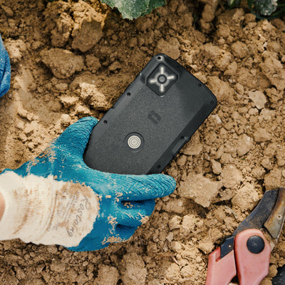
Bonus: Outdoor Mode
Exclusively available on the Chamonix-Mont-Blanc range, Outdoor Mode is a profile designed for mountain outings. It reduces unnecessary distractions so your phone stays available for what really matters.
Specifically, it allows you to:
1. Temporarily suspend non-essential notifications: keep your focus on the field, not on your alerts.
2. Set your energy profile to gain up to 25% extra battery life: to go further without searching for a power outlet.
3. Automatically share your location with loved ones, even without mobile data: because in no-service areas, that's exactly when it matters most.