Choisissez votre pays et votre langue
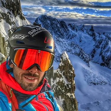
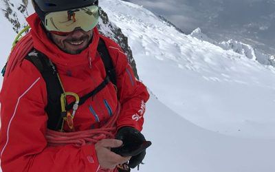
ALEX PITTIN
After 15 years of ski racing with the French national team, this native of Chamonix turned to steep skiing and mountaineering. He accompanies and rubs shoulders with the elite of the skiing world, starting with our ambassadors Xavier De Le Rue and Aurélien Ducroz. He also stars in the web series "50° North", which he shoots with his sidekick and mountain guide Tony Lamiche, renowned for his expertise in the field. Every day in the mountains, theACTION is an unavoidable part of his equipment. But what's in a guidos' smartphone, and what apps does he use, is answered below.
IPHIGENIA
"I mainly use my phone for mapping. With the Iphigénie app, there's a mode that displays slopes over 30°. This allows me to navigate in the least exposed position on the right heading.
In general, when I go into the mountains with the phone at 100%, my battery shows 70% at the end of the day, having used GPS and data. Even though I've always got the X-POWER as an extra, it's pretty handy to see that your phone isn't draining visibly and isn't afraid of sub-zero temperatures.
I sometimes record my tracks, especially on glaciers, to spot crevasses or find my way through fog. I use this function more in summer. The landmarks are different and you quickly find yourself in a cloudy layer."
FAT MAP
"It's a good tool that I often use with Aurélien Ducroz. It models the faces in 3D, so you can see where you're going, what the entrance or exit of a corridor is, for example. It's easier to get an idea."
WEATHER FORECAST
"I use several apps and websites to compare different weather models: Weather Pro, Snowforecast, Météociel and Météo Cham. It allows me to see if all the forecasts are going in the same direction or not, and which spot I'm going to favor depending on the outing I want to do."
STRAVA
"I use it as a road bike in summer, and as a personal tracker for training.